Zip Code 1009 - Santa Ana, Manila
Metro Manila | Philippines
| Primary City | Santa Ana, Manila |
| Area Codes | 2 |
| Associated Cities | Manila |
| Neighborhoods | 783 Santa Ana, Santa Ana, Sta Ana |
| Timezone | Philippine Standard Time |
| Coordinates | 14.58721919668507° / 121.0202595944709° |
| Related Zip Codes | 1000, 1001, 1002, 1003, 1004, 1005, 1006, 1007, 1008, 1018 |
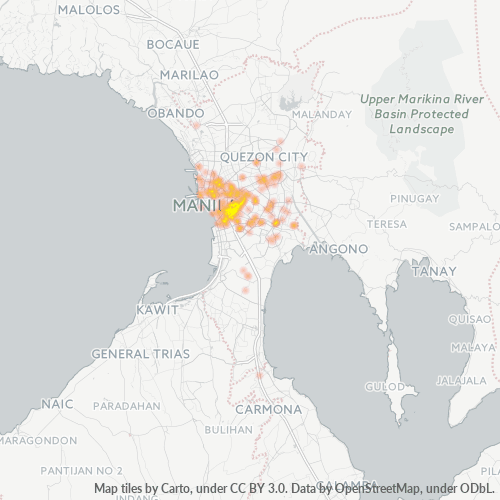
Map of Zip Code 1009 - Santa Ana, Manila
Interactive Map
Metro Manila Population Density
Population Density: 21,189 / km²
| Location | Population | Area | Density |
|---|---|---|---|
| Metro Manila | 13.4 million | 631.6 km² | 21,189 / km² |
| Philippines | 96.6 million | 296,939.4 km² | 325 / km² |
Sources: JRC (European Commission's Joint Research Centre) work on the GHS built-up grid
Business Concentration in Zip Code 1009 - Santa Ana, Manila
Industries
Business Distribution by Industry in Zip Code 1009 - Santa Ana, Manila
| Industry Description | Number of Establishments |
|---|---|
| All food and beverage | 103 |
| Beauty salons | 45 |
| Car repair | 42 |
| Clothing stores | 53 |
| Corporate management | 177 |
| Dentists | 53 |
| Grocery stores and supermarkets | 196 |
| Laundry | 51 |
| Pharmacies and drug stores | 65 |
| Restaurants | 221 |
| Shopping | 326 |
| Shopping other | 56 |
| Wholesale of machinery | 51 |
Business distribution by price for Zip Code 1009 - Santa Ana, Manila
Metro Manila CO2 Emissions
Carbon Dioxide (CO2) Emissions Per Capita in Tonnes Per Year
| Location | CO2 Emissions | CO2 Emissions Per Capita | CO2 Emissions Intensity |
|---|---|---|---|
| Metro Manila | 17,280,667 tn | 1.29 tn | 27,361.9 tons/km² |
| Philippines | 104,920,564 tn | 1.09 tn | 353.3 tons/km² |
Sources: [Link] Moran, D., Kanemoto K; Jiborn, M., Wood, R., Többen, J., and Seto, K.C. (2018) Carbon footprints of 13,000 cities. Environmental Research Letters DOI: 10.1088/1748-9326/aac72a
Metro Manila CO2 Emissions
| 2013 CO2 emissions (tonnes/year) | 17,280,667 tn |
| 2013 CO2 emissions (tonnes/year) per capita | 1.29 tn |
| 2013 CO2 emissions intensity (tonnes/km²/year) | 27,361.9 tons/km² |
Recent Nearby Earthquakes
Magnitude 3.0 and greater
| Date▼ | Time↕ | Magnitude↕ | Distance↕ | Depth↕ | Location↕ | Link |
|---|---|---|---|---|---|---|
| 7/24/19 | 10:47 AM | 4.4 | 92 km | 121,840 m | 1km N of Solo, Philippines | usgs.gov |
| 7/8/19 | 2:46 AM | 4.2 | 83.4 km | 132,950 m | 7km SSE of Balayan, Philippines | usgs.gov |
| 7/3/19 | 8:00 PM | 4.5 | 92.4 km | 10,000 m | 0km SSE of Montecillo, Philippines | usgs.gov |
| 6/10/19 | 4:03 PM | 4.2 | 36.6 km | 185,490 m | 4km NNE of Naic, Philippines | usgs.gov |
| 5/18/19 | 3:35 AM | 4.2 | 98.3 km | 35,000 m | 27km NE of Lubang, Philippines | usgs.gov |
| 5/15/19 | 11:56 PM | 4.3 | 96.4 km | 195,370 m | 9km SSE of Hukay, Philippines | usgs.gov |
| 5/8/19 | 8:39 PM | 4.3 | 97.1 km | 146,450 m | 4km SE of Talaga, Philippines | usgs.gov |
| 4/23/19 | 11:02 AM | 4.7 | 57 km | 50,080 m | 3km S of Lubao, Philippines | usgs.gov |
| 4/22/19 | 2:11 AM | 6.1 | 67.9 km | 21,840 m | 3km SSW of Floridablanca, Philippines | usgs.gov |
| 4/22/19 | 8:38 AM | 4.2 | 96.7 km | 141,440 m | 2km SE of Talaga, Philippines | usgs.gov |
Showing 1-10 of 473
…
Source: U.S. Geological Survey (USGS)
Primary City
Santa Ana is a district of Manila, Philippines known for its architectural heritage known Santa Ana Heritage District which is composed of numerous historic ancestral houses, Plaza Hugo, and the Santa Ana Church and its Camarín de la Virgen. The dist..
Santa Ana, Manila Wikipedia Page